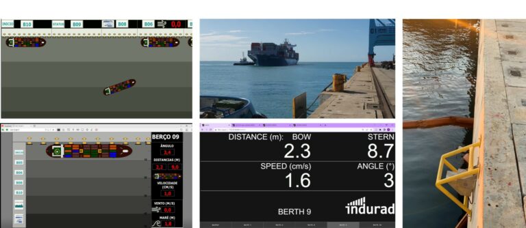
iBerth offers real-time assistance during docking by providing live measurements of angles, distances, and speeds for vessels approaching the dock. 


Optimized docking with berthing assistance includes: 


  • Ship roll angle and freeboard measurements in close proximity to the dock. 
  • Water level measurements, including tide and wave height, provided to the shipoperator. 
  • Live measurements at a 25Hz rate for the ship operator’s convenience. 

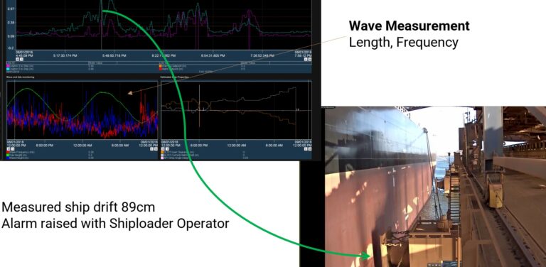
The system also facilitates cost savings in mooring and fender dimensioning by detecting, monitoring, and raising alarms for ship roll while the ship is moored. 

1

safer docking in all weather conditions

precise and reliable radar data

2

cost effective

minimal installation by long range 2D radar sensors

DATA VISUALISATION


iBerth offers essential data for harbor masters, captains, and pilots to ensure safe and efficient navigation of vessels in and out of commercial ports. This information is displayed on multiple devices, including a large display wall visible from the bridge in the harbor. Furthermore, the data is accessible on the port operator’s intranet or through dedicated displays. Additionally, the data is automatically transmitted to the radio or the pilot’s tablets for seamless access and utilization.

YouTube

By loading the video, you agree to YouTube's privacy policy.
Learn more

Load video

REAL TIME ANGLE, DISTANCE AND SPEED MEASUREMENT OF APPROACHING VESSEL

RADAR SENSORS

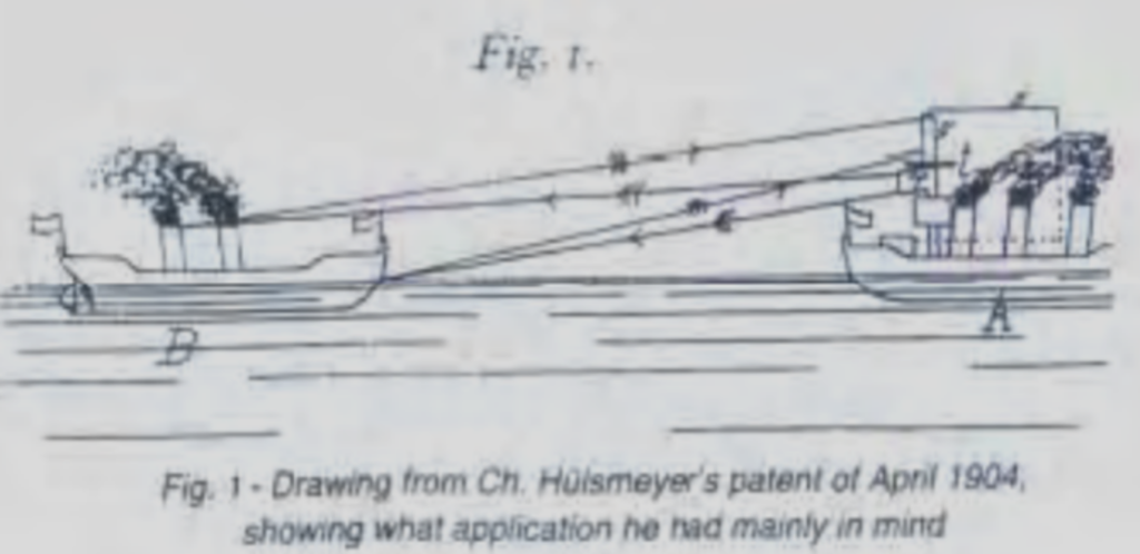
German inventor Christian Hülsmeyer invented the first maritime radar – cf.

https://en.wikipedia.org/wiki/Christian_H%C3%BClsmeyer#The_Telemobiloscope

For good reasons the gold standard in maritime environments since 1904

VESSEL DISTANCE & POSITION

all weather radar sensors

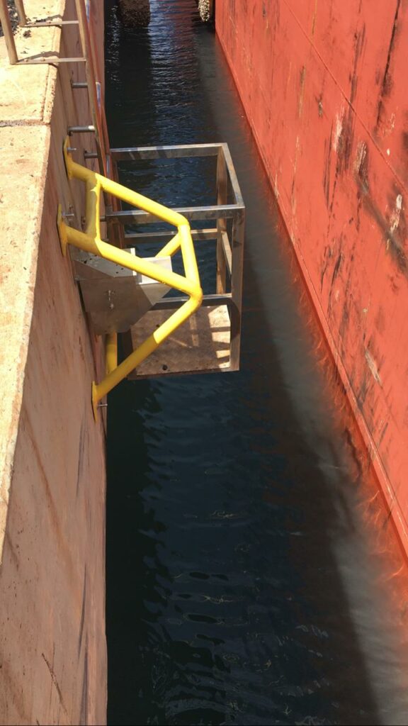
Utilizing 1D or 2D radar sensors, the system ensures precise measurement of the approaching vessel’s position regardless of weather conditions. 


While docked, the system continuously monitors the vessel’s position in terms of yaw, pitch and roll, delivering essential information to all involved parties and enhancing overall safety. 

apporach + docked position data

approaching distance, angle, speed, docked: yaw, pitch, roll)

increase Safety

during docking and at the berth

crusher feed control and blockage scanning

filling level

WATER LEVEL MESUREMENT

local information easily available

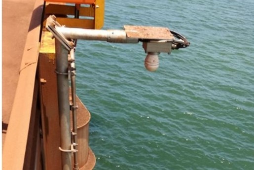
The advanced 1D radar sensor provides precise measurements of water level changes, including wave amplitudes. 


This solution surpasses the accuracy of official information and additionally offers data on water level changes during the ship’s docking process. 

water level and wave amplitude

high precision local information

independence from other systems

a local measurement you can trust

ON BOARD VESSEL

distance, angle and approach speed

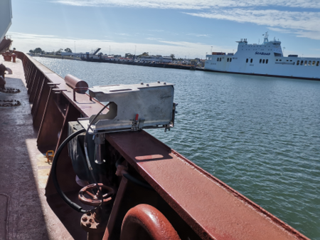
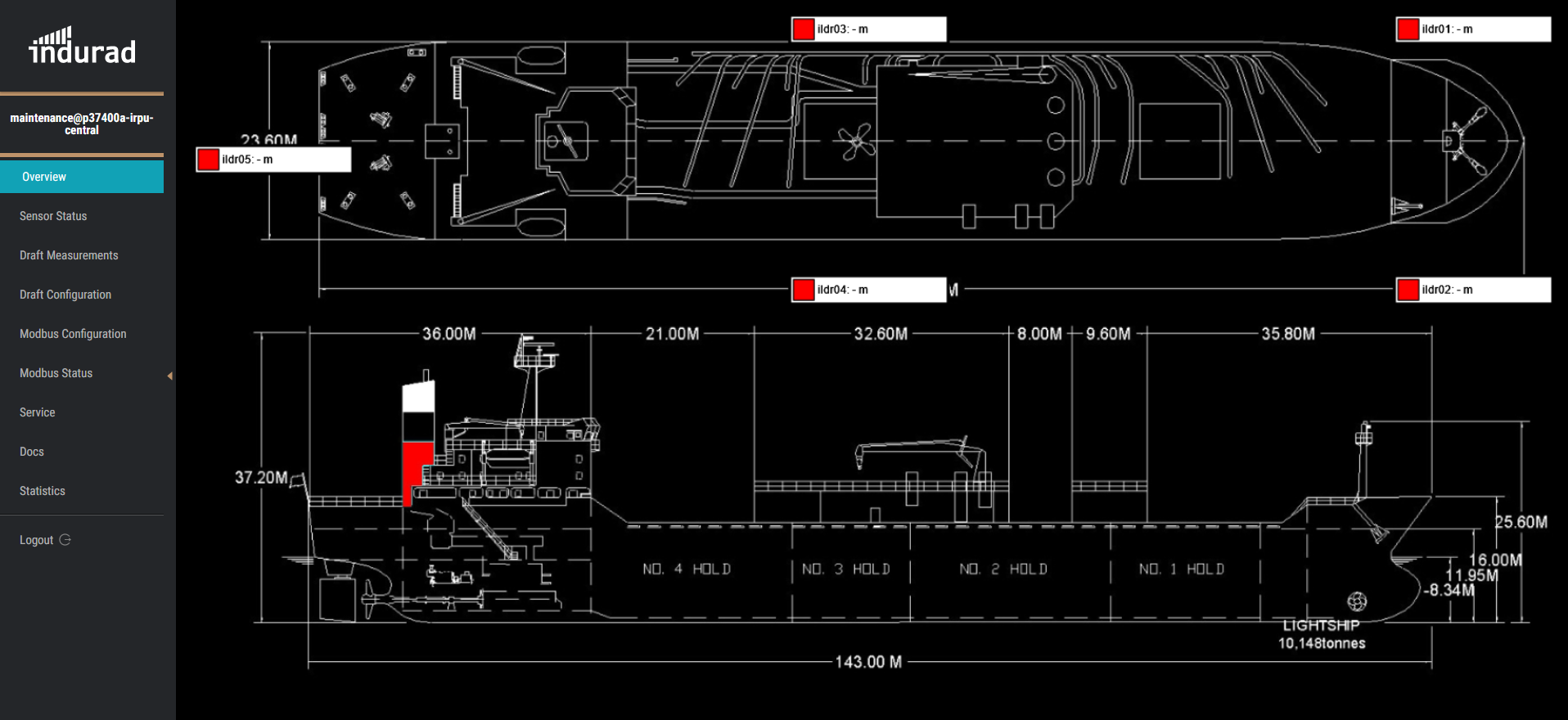
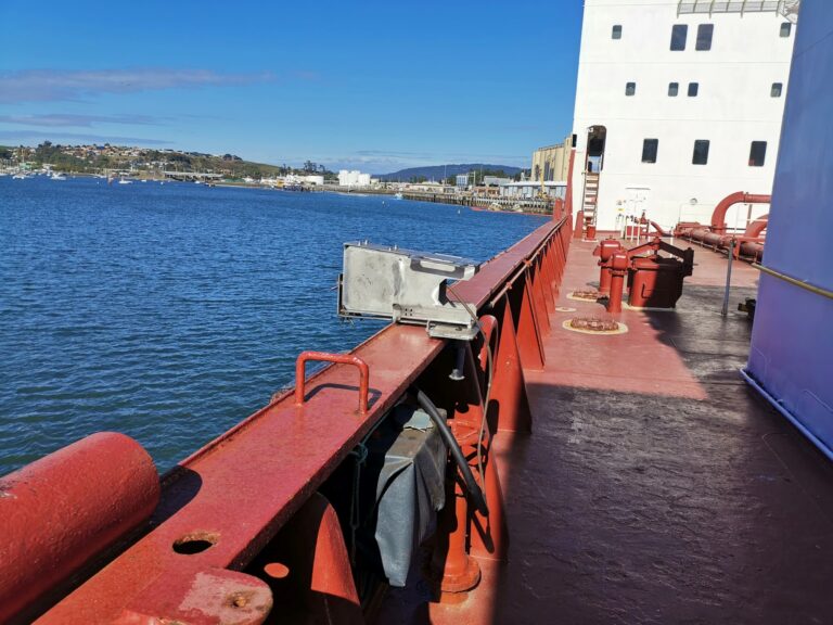
indurad iBerth systems can be installed on vessels, enhancing the speed and safety of docking operations. 


This capability has been successfully demonstrated for both fixed quays and floating trans shipment terminals. 

faster docking

more precise informatoin than any pilot or capitain can estimate

safer docking

provides faster information to react

1D Level sensor

filling level

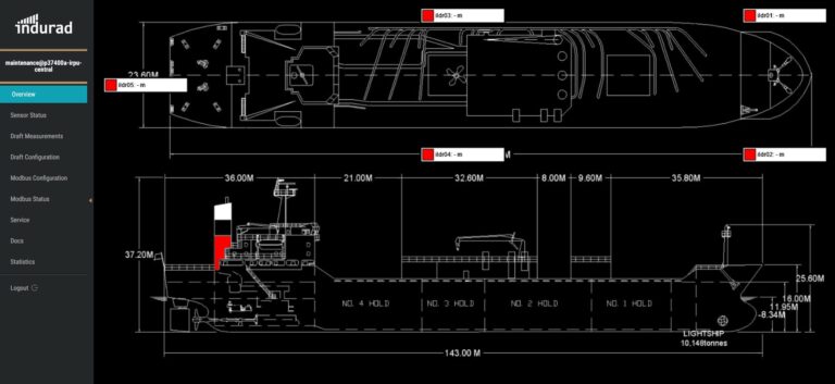
AUTOMATIC AND CONTINIOUS DRAFT SURVEY

local information easily available

The 1D radar sensor offers precise measurements of water level changes, even including wave amplitudes. 


The solution surpasses the accuracy of official data and additionally provides valuable information aboutwater level changes during the ship docking process. 

water level and wave amplitude

high precision local information

independence from other systems

a local measurement you can trust

GET IN CONTACT

PLEASE PROVIDE MORE INFORMATION.

*required